AI Forecasts Risk of People Being Trapped on Mudflats... and Provides Water-Depth Data to Rescue Teams
- Input
- 2026-11-16 14:34:41
- Updated
- 2026-11-16 14:34:41
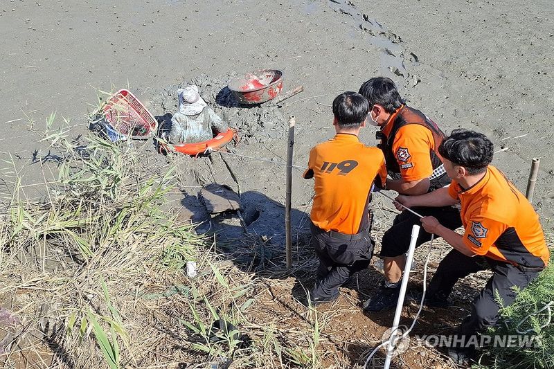
[Financial News] The National Fire Agency (NFA) has developed an AI-powered risk prediction service to prevent people from becoming trapped on mudflats when incoming tides cut off their way back. The service will enable officials to assess regional risks of people becoming trapped over the next two days and, if an accident occurs, view estimated water depths and flood-risk areas on a map to support rescue operations.
The NFA said on the 16th that it had developed a service called “AI-Based Coastal Entrapment Incident Analysis and Search-and-Rescue Support” and would provide it to control rooms at fire headquarters in cities and provinces nationwide through the 119 Big Data Analysis System.
The service grew out of a proposal by Fire Lieutenant Choi Seong-min of Taean Fire Station in Chungnam. The aim is to identify in advance the areas and periods when people are often trapped on mudflats, in order to prevent incidents and reduce rescue times.
An NFA analysis of more than 5,800 coastal accidents over the nine years from 2017 to 2025 found that entrapment incidents were most frequent in Chungnam. Last year, incidents were concentrated in October and November, while in Taean County a high proportion of entrapment incidents occurred around the new moon, when tides fluctuate greatly.
Mudflats along the west coast are wide and gently sloping, so they can be quickly submerged when the tide comes in. In particular, seawater often fills “tidal channels” between the mudflats first, cutting off the way back to land. It is easy to lose one’s bearings at night or in fog, and rescue teams also have difficulty reaching the area.
Based on these characteristics of such incidents, the NFA developed an AI model to predict the risk of people becoming trapped on mudflats along the west and south coasts. The model learns from past accident locations, months, days of the week, times of day and lunar-calendar dates, and factors in tide-level forecasts from the Korea Hydrographic and Oceanographic Agency to calculate risk levels by area and time of day.
Fire service control rooms and rescue teams can check changes in risk over the next two days alongside tide and weather forecasts. They can use the information to identify in advance the periods and areas where accidents are common and focus prevention efforts there.
The service also includes a feature to help rescue personnel make decisions in the field. It combines mudflat elevation data with tide-level forecasts and uses colors on a map to show estimated water depths and risk levels for each area. Rescue personnel can refer to the map to avoid areas at risk of flooding and determine a route to reach people needing rescue.
The NFA conducted field tests from October 28 through the 6th at the Chungnam Fire Headquarters 119 General Situation Room and on the mudflats in Taean County.
Lee Jin-heon, an AI convergence officer at the NFA, said, “The services being developed by the AI Convergence Office are significant because they use data and artificial intelligence to identify the risk of people becoming trapped on mudflats one step ahead of time and support safe and swift rescue operations by rescue personnel. I also urge members of the public visiting mudflats to be sure to check tide information and weather forecasts before their visit, and to move to a safe place with plenty of time before the tide comes in.”
[email protected] Lee Bo-mi Reporter