Korea Forest Service to bring AI and satellites into forest management
- Input
- 2026-11-12 16:33:54
- Updated
- 2026-11-12 16:33:54
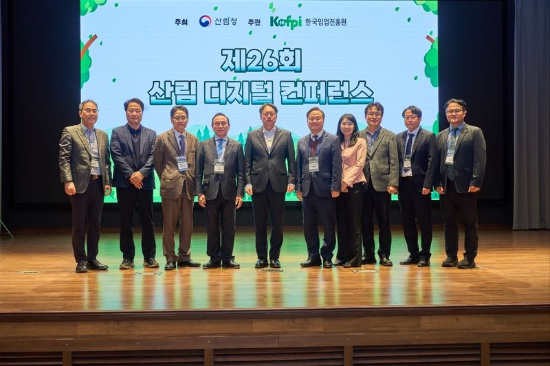
The KFS said it held the 26th Forest Digital Conference in Yesan County, South Chungcheong Province, on the 12th and shared the direction for innovation in digital forest management and forest administration centered on AI and satellite data. Around 200 people attended the event, hosted by the KFS and organized by the Korea Forestry Promotion Institute, including forest officials from across the country, experts from industry, academia and research in the ICT sector, and field practitioners. They explored a vision for the digital and AI transformation of forestry.
The KFS presented three key priorities for managing forests—which account for approximately 63% of the country’s land area—scientifically and maximizing administrative efficiency. They are expanding the National Forest Management Information System, using spatial data based on the Agricultural and Forest Satellite, and pursuing an artificial intelligence transformation (AX) in forestry.
At the awards ceremony for a competition held alongside the conference, outstanding examples of using forestry AI and the open-source geographic information system (QGIS) to improve existing work practices and solve challenges in the field were presented. The KFS plans to turn proven best practices into standard manuals and disseminate them to forest operations nationwide. It also plans to strengthen communication with field practitioners, continuously build up high-quality forest data, and expand the practical use of digital technologies.
Accelerating the KFS’s digital transformation is an essential strategy for proactively responding to forest disasters, including wildfires that are growing in scale and occurring year-round due to climate change, landslides and pine wilt disease. Traditional patrols centered on personnel and visual inspections alone have limitations in identifying unusual signs in vast forest areas in real time. Going forward, if the vast amounts of imagery and geospatial data collected by the Agricultural and Forest Satellite, drones and intelligent closed-circuit television (CCTV) systems are combined with AI algorithms, the ‘smart disaster response system’ is expected to become more sophisticated, enabling earlier predictions of disaster risks and more precise estimates of affected areas.
Lim Ha-su, Deputy Commissioner of the KFS, said, “We plan to precisely analyze changes in forest resources based on reliable forest data, and to realize forest disaster response using advanced technologies and efficient forest administration.”
[email protected] Kim Won-jun Reporter