AI forecasts changes across the country and detects disasters... 16,000 visit K-Geo Festa
- Input
- 2026-11-08 16:32:14
- Updated
- 2026-11-08 16:32:14
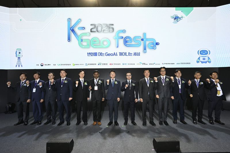
According to LX Korea Land and Geospatial Informatix Corporation on the 8th, the event, hosted by the Ministry of Land, Infrastructure and Transport and organized by LX Corporation, was held from the 4th to the 6th at KINTEX in Goyang, Gyeonggi Province. A total of 117 companies and institutions took part, showcasing technologies for land management and disaster response and discussing ways to foster public-private cooperation. GeoAI was a key technology on display, using AI to analyze satellite and aerial imagery, among other data, to forecast urban changes and detect disaster risks.
LX Corporation introduced Land-XI, a land-management administrative support platform that uses national land satellite, aerial and drone imagery alongside GeoAI. Now in use in about 20 cities and counties, the platform supports forage-crop and farming management and the detection of buildings suspected of being illegal, among other tasks. It was also used for an AI survey of river areas that identified about 83,000 cases of suspected illegal facilities across the country.
Companies showcased location-recognition and disaster-response technologies. Hypercloud demonstrated an AI-based location-recognition wayfinding service on mobile phones at an exhibition hall, as well as indoor navigation using augmented reality (AR) glasses. Maum AI displayed a four-legged AI patrol robot that reports road flooding and calls for rescue.
The Digital SOC Conference, held on the 5th, brought together the Korea Expressway Corporation, Korea National Railway and Korea Land and Housing Corporation, among others, to share examples of infrastructure management using digital technology and discuss directions for its development.
At the 2026 Underground Information Seminar, also held that day, about 80 officials from relevant institutions, including the Seoul Metropolitan Government, the Korea Authority of Land & Infrastructure Safety and the Korea Institute of Civil Engineering and Building Technology, discussed ways to manage underground spaces and ensure safety. LX Corporation presented the status of developing and using the Underground Information Integrated Map, which brings together 16 types of underground information managed by 225 institutions.
At the Spatial Information Open Innovation program, launched for the first time this year, public institutions and major companies outlined the technologies they need and explored potential collaborative projects with startups.
The Korea Expressway Corporation and the Korea Agency for Infrastructure Technology Advancement, among others, presented demand for geospatial information-related projects and plans for moving them forward. NAVER Cloud, Amazon Web Services (AWS) and Kakao Mobility Corp. also outlined their technology needs and plans for working with startups. After the presentations, participants discussed specific collaboration opportunities through Q&A sessions and one-on-one consultations.
“Geospatial information is now developing into key infrastructure that, combined with AI, can forecast the future and help solve problems,” said Eo Myeong-so, president of LX Corporation. “LX Corporation will also do its utmost to enhance public safety and the efficiency of land management by expanding GeoAI technology development and public-private cooperation.”
[email protected] Choi Ga-young Reporter