Korea Authority of Land & Infrastructure Safety and Jinju City use satellites to pinpoint risks and survey underground; three cavities repaired
- Input
- 2026-11-05 11:08:54
- Updated
- 2026-11-05 11:08:54
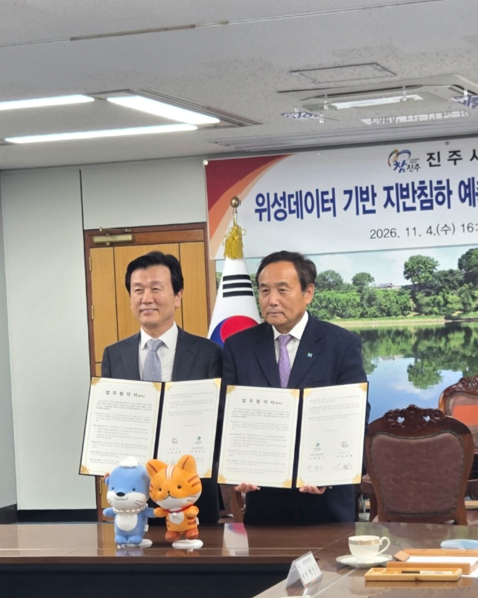
The Korea Authority of Land & Infrastructure Safety said on the 5th that it had signed an MOU with Jinju City on the 4th for a field trial of a “satellite data-based ground subsidence prediction platform.” Park Chang-geun, head of the authority, and Jinju Mayor Cho Kyu-il were among those in attendance.
The agreement calls for the authority to verify ground-displacement results analyzed by Jinju City’s platform for administrative use of satellite data through ground-penetrating radar (GPR) surveys. The two organizations will work together to advance forecasting technology and the platform, conduct on-site inspections, share results, and expand the use of satellite analysis data.
The authority previously surveyed areas selected by Jinju City through satellite analysis and confirmed three underground cavities that cause ground subsidence. Jinju City completed repairs last September.
The method uses satellites to identify ground displacement across a wide area, then conducts detailed surveys in areas with a high level of risk. This allows inspection personnel and equipment to be concentrated where they are needed.
The authority plans to improve the accuracy and reliability of satellite data analysis through field trials and the sharing of results.
Park Chang-geun, head of the authority, said, “This agreement is significant as a collaborative model that links satellite data analysis with the authority’s ground-survey capabilities to identify areas at risk of ground subsidence in advance.”
[email protected] Choi Ga-young Reporter