Typhoon Champi becomes an extratropical cyclone at dawn ... waves of up to 5 m offshore Jeju
- Input
- 2026-10-26 06:51:00
- Updated
- 2026-10-26 06:51:00
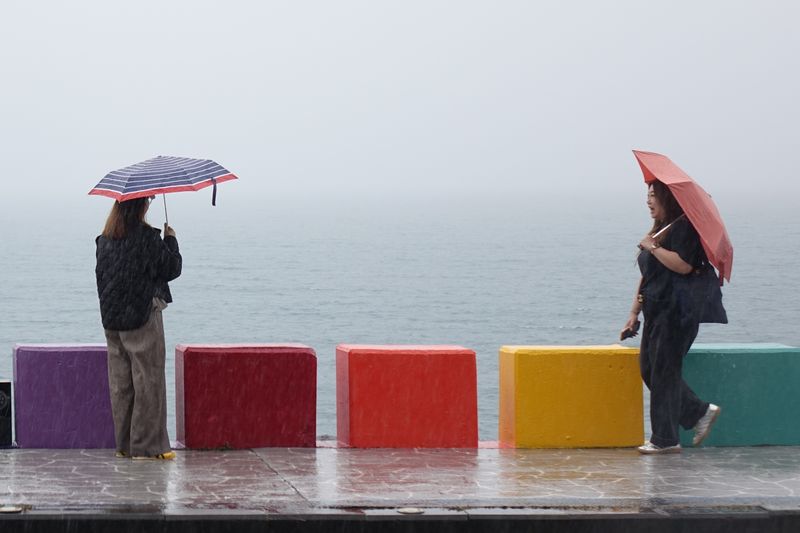
【Financial News, Jeju—Reporter Jeong Yong-bok】 Typhoon No. 30, Champi, became an extratropical cyclone at 3 a.m. on the 26th, and the typhoon warning for the outer waters south of Jeju Island was changed to a high seas warning. Although the storm’s activity as a typhoon has ended, waves as high as 5 m are forecast in waters around Jeju, and morning temperatures are expected to fall to 11–12°C on the 28th.
According to the Korea Meteorological Administration (KMA) on the 26th, Champi became an extratropical cyclone over waters at 31.3 degrees north latitude and 127.5 degrees east longitude at 3 a.m. that day. Its central pressure was 1,000 hPa, and its maximum wind speed near the center was 21 m/s. It was moving east-northeastward at 20 km/h.
The KMA stopped issuing typhoon updates for Champi and changed the typhoon warning for the outer waters south of Jeju Island to a high seas warning. Even after losing its typhoon characteristics, the storm still poses a risk from strong winds and high waves.
According to the Jeju Provincial Meteorological Administration, strong winds of 14–22 m/s will blow over the outer waters south of Jeju Island during the morning, with waves reaching 2–5 m. Waves of up to 4 m are also expected in waters off southern and eastern Jeju Island.
The weather alerts issued at 6 a.m. that day kept strong wind advisories in effect for Jeju’s mountainous areas, eastern Jeju City and eastern Seogwipo. High seas warnings are in effect for the outer waters south of Jeju Island and the inner offshore waters to the southeast, while high seas advisories cover most of the other waters around Jeju Island.
Most of the rain over land is expected to stop between 9 a.m. and noon. An additional 5–10 mm of rain is forecast through the morning. From the afternoon, skies are expected to generally clear, with clouds at times.
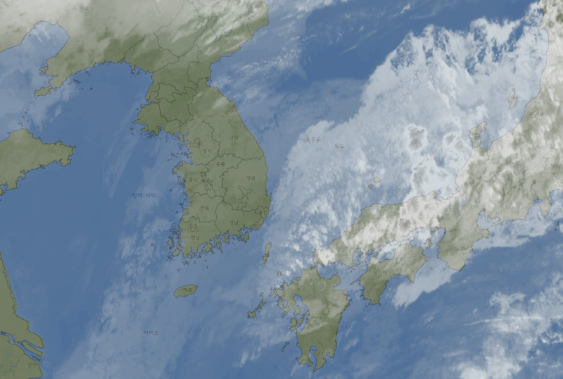
Champi brought heavy rain to Jeju starting on the 23rd. From midnight on the 23rd to 7 p.m. on the 25th, accumulated rainfall at Samgakbong on Hallasan reached 359.5 mm. Heavy rain fell not only in mountainous areas but also in the mid-mountain region and along the eastern coast.
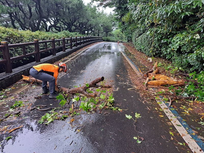
Damage to infrastructure also occurred amid strong winds and torrential rain. On the 24th, a wire securing a traffic light snapped in Gujwa-eup, Jeju City, and a greenhouse was flooded in Iho 2-dong. On the morning of the 25th, a building’s basement pump room was flooded in Andeok-myeon, Seogwipo, and a tree was blown down in Seohong-dong, prompting firefighters to take safety measures.
Air and ferry services were also disrupted. On the 24th, 25 flights were canceled at Jeju International Airport: nine domestic and 16 international flights. A total of 218 flights were delayed, including 213 domestic and five international flights.
Some flights at Jeju Airport were also canceled or delayed on the 25th, and cancellations continued on ferries using Jeju Port and on routes connecting outlying islands such as Gapado and Marado. All seven hiking trails in Hallasan National Park were also closed due to worsening weather.
Champi was recorded as the typhoon to affect South Korea latest in the year since typhoon records began in 1951. When a typhoon warning took effect over the outer waters south of Jeju Island at 4 a.m. on the 25th, it surpassed the previous record, set by Typhoon Zeb on October 18, 1998.
Champi did not make direct landfall on the Korean Peninsula, but, interacting with the surrounding pressure systems, it brought large amounts of moisture to Jeju and the southern regions. Even after the typhoon has moved away, coastal areas should watch out for swells. In particular, a spring tide, when sea levels rise, begins on the 26th, so low-lying coastal areas and places near breakwaters should prepare for flooding and wave overtopping.
Temperatures will also vary considerably. Daytime highs in Jeju are expected to reach 23–25°C that day. Highs are forecast to reach 23°C in Jeju City, Seongsan and Gosan, and 25°C in Seogwipo.
Skies will gradually clear from the morning on the 27th. Morning lows are forecast at 17–18°C, with daytime highs of 19–21°C. However, waves as high as 3.5 m are expected in waters around Jeju, so caution is needed at sea.
Temperatures will drop sharply on the 28th as cold air moves down from the north. Morning lows are expected to be 11–12°C, with daytime highs of 15–19°C. Compared with daytime on the 26th, daytime highs will be 6–8°C lower, depending on the area.
The cold will be more pronounced in the mid-mountain and mountainous areas. On the 28th, the morning low at Seongpanak on Hallasan is forecast to be 5°C, and lows at Sancheondan and Hannam are forecast at 8°C.
The KMA advised people to avoid approaching the coast while strong winds and high seas continue, and urged air and ferry passengers to check service information before departure.
[email protected] Jeong Yong-bok Reporter