Jeju’s Samgakbong records 268.5 mm of heavy rain; typhoon warning issued for southern offshore waters, island ferry routes suspended
- Input
- 2026-10-25 08:21:33
- Updated
- 2026-10-25 08:21:33
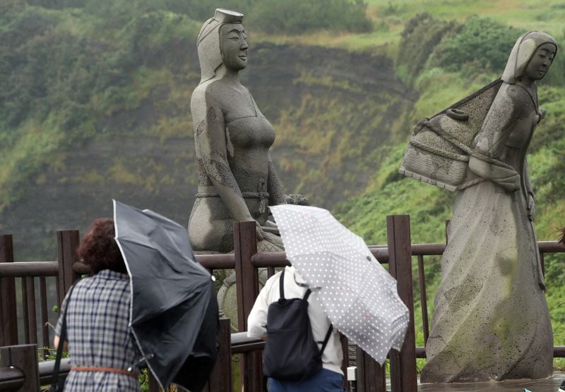
【Financial News, Jeju = Jeong Yong-bok】 Rainfall of 268.5 mm was recorded at Samgakbong on Hallasan in Jeju, and a typhoon warning was issued for the outer offshore waters south of Jeju. As Typhoon No. 30, Champi (CHAMPI), moves north, ferry services on the Marado and Gapado routes have been suspended, and at least 120 mm more rain is forecast in mountainous and mid-mountain areas through the morning of the 26th.
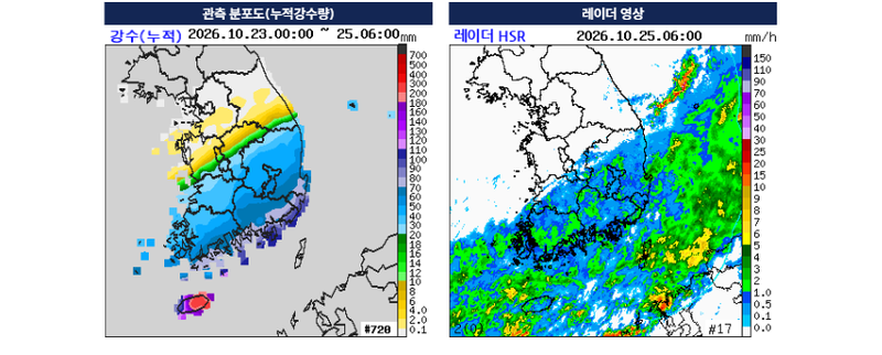
According to the Jeju Provincial Meteorological Administration on the 25th, accumulated rainfall from midnight on the 23rd through 6 a.m. on the 25th was 268.5 mm at Samgakbong, 244.0 mm at Jindallaebat, and 241.0 mm at Seongpanak. Rainfall totaled 234.0 mm at Sancheondan in the mid-mountain area and 219.5 mm at Songdang.
Rain was also concentrated in coastal areas. Rainfall totals were 215.0 mm in Pyoseon, Seogwipo City; 210.9 mm in Seongsan; and 194.5 mm in Gimnyeong, Jeju City. Multiple areas in eastern Jeju and the mid-mountain region also recorded more than 200 mm of rain.
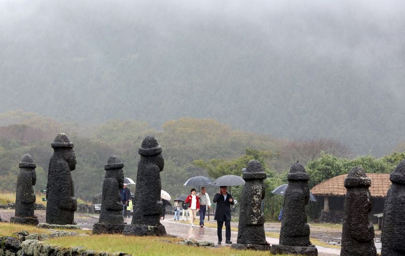
Rain is expected to continue through the morning of the 26th. According to the Korea Meteorological Administration, 30–80 mm of rain is forecast, with some mountainous and mid-mountain areas expected to receive at least 120 mm more.
In particular, there is a possibility of another spell of heavy rain from daytime through evening on the 25th, especially in mountainous areas and east of Hallasan. Given the substantial rainfall already recorded, people are urged to watch for fast-flowing water in rivers, flooding in low-lying areas, and runoff of soil and debris.
The typhoon’s effects are becoming more pronounced at sea. The Korea Meteorological Administration issued a typhoon warning for the outer offshore waters south of Jeju Island at 4 a.m. that day. High wave warnings were issued for the inner offshore waters southeast and southwest of Jeju Island, and high wave advisories were issued for most nearshore waters off Jeju Island.
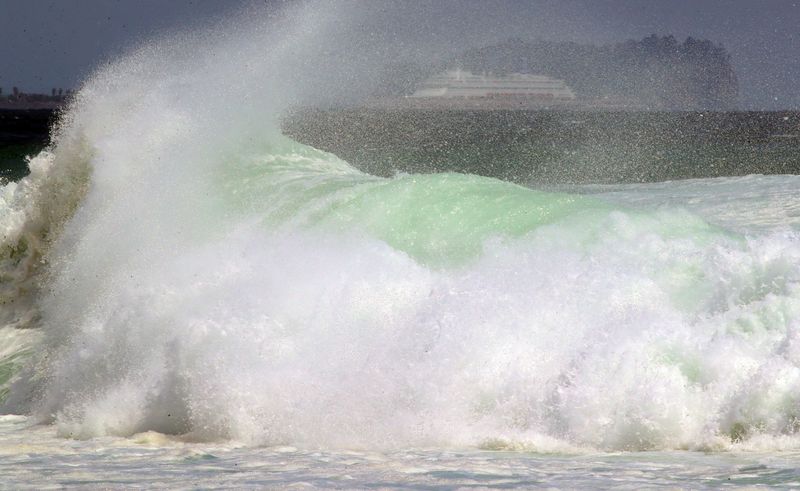
Strong winds of 14–22 m/s and waves as high as 6 m are expected in the outer offshore waters south of Jeju. Waves are also forecast to reach up to 4.5 m in waters off southern and eastern Jeju.
Ferry services to the islands have also been disrupted. According to the Korea Maritime Transportation Safety Authority, 30 scheduled sailings on the Mosulpo–Gapado/Marado and Sanisudong–Marado routes are suspended due to a high wave advisory.
However, some routes, including Jeju–Wando, are listed as scheduled to operate normally, so ferry services to and from Jeju have not all been suspended. Operations on individual routes may change depending on weather conditions.
Strong winds are continuing on land as well. As of 6 a.m. that day, the maximum instantaneous wind speeds recorded over the previous hour were 18.9 m/s at Sajebi on Hallasan, 18.1 m/s at Saebyeol Oreum, and 15.6 m/s at Geumak.
The Korea Meteorological Administration forecast that gusts of 70 km/h could occur in some parts of Jeju through the morning of the 26th, with winds of more than 90 km/h possible in mountainous areas. People should prepare for disruptions to aircraft and ferry operations and for coastal accidents caused by strong winds and high waves.
At 3 a.m. that day, Typhoon Champi was moving east-northeast over waters about 400 km north-northeast of Taipei, Taiwan, with a central pressure of 990 hectopascals (hPa) and maximum winds of 24 m/s.
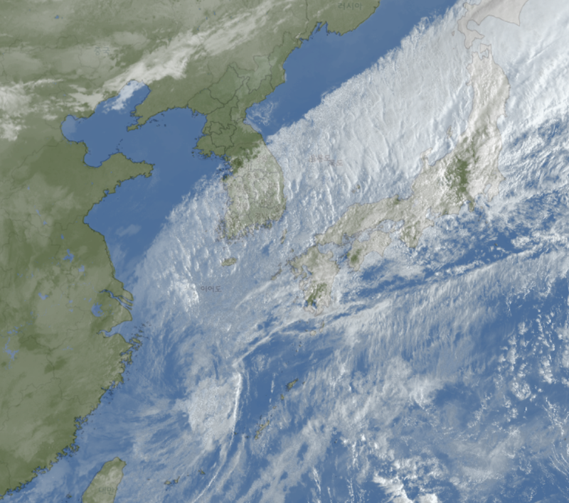
The Korea Meteorological Administration expects the typhoon to move across waters south of Jeju toward Kyushu, Japan, and become an extratropical cyclone at around 3 p.m. on the 26th. A direct landfall on Jeju is unlikely, but the typhoon’s effects are continuing, particularly over the southern waters.
The timing of this typhoon is also unusual. The Korea Meteorological Administration said that if Champi is officially classified as a typhoon that affected Korea, it could be the latest-season typhoon to have an impact since records of typhoon tracks began in 1951. The previous record was Typhoon No. 10, Zeb (ZEB), which affected waters around Korea from October 16 to 18, 1998.
Jeju Island had earlier inspected storm drains and drainage facilities in flood-prone areas, checked the maintenance of signboards and temporary structures vulnerable to strong winds, and reviewed its response system for passengers staying at the airport.
A spring tide period, when the moon’s gravitational pull raises sea levels, begins on the 26th. If high waves coincide with high tide, the risk of flooding in low-lying coastal areas could increase, so caution is needed near breakwaters, rocky shores, and coastal walking paths.
Rain is forecast to stop across most of Jeju between 6 and 9 a.m. on the 26th. However, strong winds, high waves, and swell may continue after the rain stops.
[email protected] Jeong Yong-bok Reporter