Up to 80 mm of rain in southern regions through the 19th... “Check drainage facilities blocked by fallen leaves” [FN Weather]
- Input
- 2026-10-18 17:03:43
- Updated
- 2026-10-18 17:03:43
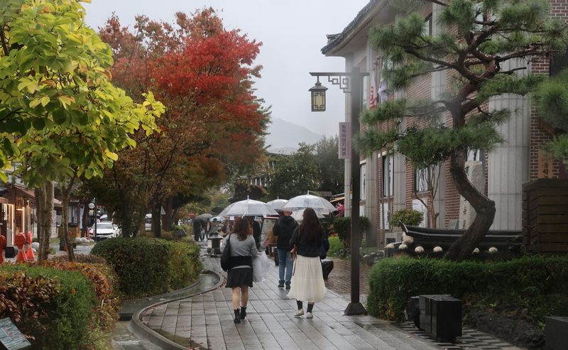
[Financial News] Heavy rain accompanied by gusts, thunder and lightning is forecast for Monday the 19th, mainly in the southern regions. Most of the rain will have stopped in the central regions by the previous evening, with clouds at times, but rain will continue in the southern regions through the morning and in Jeju through the daytime. Dense fog is expected inland in Chungcheong through the morning, with strong winds mainly along the East Sea coast and in Jeju.
According to the Korea Meteorological Administration on the 18th, expected rainfall over the two days through the 19th is 30–80 mm in Gwangju, South Jeolla and North Jeolla; 10–60 mm in Busan, Ulsan, South Gyeongsang, Daegu and North Gyeongsang; 30–80 mm in the mountainous areas of Jeju; and 10–60 mm elsewhere in Jeju.
In particular, some areas of Gwangju, South Jeolla, Busan, Ulsan and South Gyeongsang are expected to receive heavy rain of 20–30 mm per hour between late on the 18th and the early hours of the 19th. Jeju is also forecast to see rain of the same intensity between the early hours and morning of the 19th. Rainfall amounts are expected to vary considerably by region.
The central regions, where the rain has stopped, will be partly cloudy at times, while the southern regions and Jeju will be mostly cloudy before becoming partly cloudy from the afternoon.
The morning low on the 19th is forecast to be 7–20°C, and the daytime high 19–25°C. Temperatures will be above average through the morning, but near average from daytime onward.
Strong winds are expected in the mountainous areas of Gangwon, along the East Sea coast, along the East Sea coast of North Gyeongsang and in Jeju through the early hours of the 19th, with gusts reaching 20 m/s or more and 25 m/s or more in mountainous areas. A strong wind advisory may also be issued for the east coast of South Gyeongsang.
High waves will continue at sea. Strong winds will blow through the morning of the 19th over the distant waters of the western South Sea, some distant waters in the central and southern East Sea, and waters around Jeju, with waves of 1.5–4 m. Waves in the distant waters of the central East Sea will reach 5 m or higher.
Commuters should take care because of fog. Dense fog with visibility under 200 m is expected inland in South Chungcheong and in northern North Chungcheong between the early hours and 10 a.m. on the 19th. Fog with visibility under 1 km is also expected inland in Gyeonggi and Gangwon, in central and southern North Chungcheong, in northern North Jeolla, and in the northern inland areas of North Gyeongsang.
Rain will return to the southern regions on the 20th. Rain beginning in the South Jeolla region and Jeju in the morning will spread to North Jeolla and the Gyeongsang region in the afternoon. Expected rainfall is 5–40 mm in Gwangju and South Jeolla; 5–30 mm in Busan, Ulsan, South Gyeongsang and Jeju; and 5–10 mm in North Jeolla and southern Daegu and North Gyeongsang. The rain will mostly stop in the Jeolla and North Gyeongsang regions on the night of the 20th, but in parts of South Gyeongsang and Jeju it will continue through the early hours of the 21st.
The Korea Meteorological Administration urged people to refrain from camping and avoid riverside walking paths and underpasses, warning that heavy, intense rain could cause water levels in valleys and streams to rise suddenly. It also cautioned that autumn leaves could clog sewers and drains, preventing rainwater from draining properly and potentially flooding low-lying areas. In particular, it stressed that rainwater could back up from sewers, stormwater pipes and drains during torrential rain, and urged people to check drainage facilities in advance and prepare for flood damage.
[email protected] Lee Bo-mi Reporter