Stormy autumn rain across the country Sunday...cooler than average next week [FN Weather]
- Input
- 2026-10-15 12:15:26
- Updated
- 2026-10-15 12:15:26
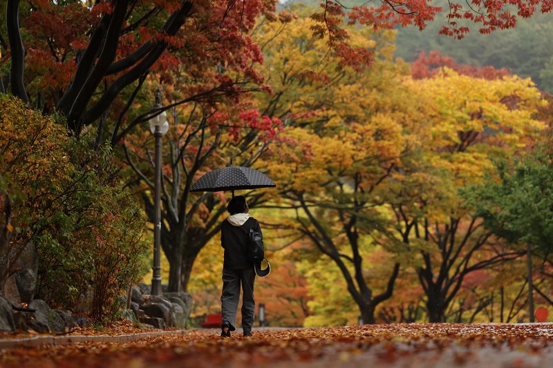
[Financial News] This weekend is expected to be mostly clear and mild through Saturday, followed by autumn rain accompanied by gusts, thunder and lightning across the country on Sunday. After the rain clears, temperatures are expected to gradually fall, becoming cooler than average by the middle of next week.
According to the Korea Meteorological Administration on the 15th, the weather is expected to be mostly clear or cloudy through Saturday the 17th under the influence of a migratory high-pressure system. Temperatures will be above average, but the difference between daytime and nighttime temperatures is expected to be at least 10°C. Friday the 16th is forecast to have morning lows of 6–16°C and daytime highs of 22–26°C. On the 17th, morning lows are forecast at 7–16°C and daytime highs at 21–27°C.
Rain is expected on Sunday the 18th as a migratory high-pressure system moves eastward and a pressure trough carrying cold, dry air approaches from the northwest. Rain is forecast to begin before dawn in the country’s northwestern regions, spread to the central regions in the morning, and expand nationwide in the afternoon. It is expected to stop in the central regions that night, and in the southern regions and Jeju on Monday morning the 19th.
In some areas, the autumn rain may bring substantial amounts of precipitation and fall heavily. When cold, dry air moves in while moisture is present, the atmosphere can become unstable, allowing rain clouds to develop strongly. Gusts, thunder and lightning are also expected in some places.
Temperatures are expected to remain around average through the 19th, when the rain clears, and then fall under the influence of cold air moving in from the north. On the 18th, morning lows are forecast at 11–20°C and daytime highs at 20–27°C. On the 19th, morning lows are expected to be 11–20°C and daytime highs 20–26°C.
Temperatures are expected to turn chilly, especially as cold air sweeps south again from the northwest around the 21st. From the 20th to the 25th, morning temperatures are forecast at 3–15°C and daytime temperatures at 16–23°C, around average or slightly below.
People along the coasts and in mountainous areas should also prepare for strong winds. The Korea Meteorological Administration said strong wind advisories may be issued on the 18th for the west coast, Gangwon’s East Sea coast and mountainous areas, and Jeju. People should take care to secure outdoor structures, and anyone planning to travel by plane or ship should check operating information in advance.
Waves are forecast to rise in the Yellow Sea from the afternoon of the 17th, and in the South and East Seas from the 18th. High waves may persist through the night of the 18th and, in the East Sea, through the 19th.
The Korea Meteorological Administration urged people to take care, saying, “Temperatures will be above average through the weekend, then below average next week,” and “people should take care of their health during the seasonal transition given the wide day-night temperature differences and sharp changes in temperature.”
[email protected] Lee Bomi Reporter