Temperatures to plunge 5–10°C on the morning commute on the 14th; cold winds to make it feel even colder [FN Weather]
- Input
- 2026-10-14 06:00:00
- Updated
- 2026-10-14 06:00:00
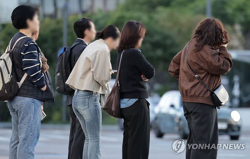
Morning temperatures will drop by 5–10°C from the previous day across most of the country on the 14th. In inland and mountainous areas of Gangwon Province and some southern inland areas, morning temperatures will fall to around 5°C. Strong winds nationwide will make the morning commute and school run feel chilly.
According to the Korea Meteorological Administration, morning lows will be 5–14°C, sharply down from 14.6–22.1°C the previous day. Daytime highs will also be lower, at 18–22°C, compared with 19.3–27.3°C the previous day. Morning temperatures will fall to 10°C or below across most of the country, and the day-night temperature gap will widen to around 15°C.
The Korea Meteorological Administration issued a cold wave impact forecast at 11:30 a.m. on the 13th. As temperatures are expected to drop sharply with cold air moving in from the northwest, and strong winds will add to the chill, the perceived temperature is expected to be lower than the actual temperature.
Morning lows in major cities are forecast at 9°C in Seoul, 10°C in Incheon, 12°C in Gangneung, 9°C in Daejeon, 10°C in Cheongju, 12°C in Gwangju, 10°C in Jeonju, and 14°C in Busan. Daytime highs are forecast at 19°C in Seoul, 20°C in Incheon, 20°C in Gangneung, 20°C in Daejeon, 20°C in Cheongju, 20°C in Gwangju, 20°C in Jeonju, and 22°C in Busan.
Skies across the country will be mostly cloudy at times before gradually clearing. Gusts will reach around 55 km/h across most of the country, with strong winds of around 70 km/h in mountainous areas.
Strong winds and high waves are also expected at sea. Rough-sea advisories are in effect over the West Sea and waters around Jeju Island, and could be extended to the East Sea and other areas. Waves of 1.5–4 meters are expected in major sea areas, with waves of over 5 meters possible in some remote offshore waters of the East Sea.
Along the East Coast, high waves caused by swells may overtop breakwaters and coastal rocks in some places. Through the 14th, sea levels will rise during the spring-tide period, so caution is also needed about flooding in low-lying coastal areas around high tide.
Chilly weather will continue on the 15th, with morning lows remaining at 4–12°C. Frost is expected in inland and mountainous areas of Gangwon Province, in Chungbuk, and in some southern inland areas; ice may form in parts of the Gangwon mountains.
[email protected] Lee Bo-mi Reporter