September Was Dry and Spared by Typhoons...Nationwide Rainfall Was the Second-Lowest on Record
- Input
- 2026-10-02 16:26:20
- Updated
- 2026-10-02 16:26:20
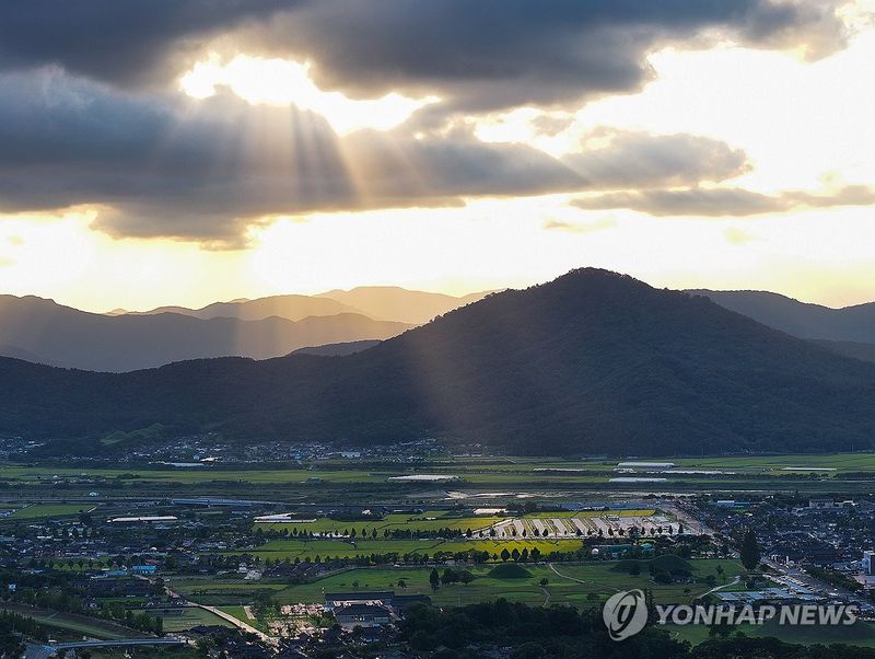
[Financial News] Rainfall across the country totaled just 26.4 mm last September, falling to one-ninth of last year's level. That was only 17% of normal and marked the second-lowest figure since 1973, when the nationwide weather observation network was expanded. No typhoon affected South Korea in September. Although rainfall was unusually scarce, the average temperature was 1.2°C above normal, extending the country's hotter-than-usual September even as the record late-season heat of the past three years eased.
According to the September 2026 climate report released by the Korean Meteorological Administration on Oct. 2, nationwide rainfall last month totaled 26.4 mm, 128.7 mm below the normal 155.1 mm. The only year with less September rainfall was 1982, when the figure stood at 20.6 mm. In September last year, rainfall reached 228.8 mm, meaning this year's total plunged to about one-ninth of that level in just one year.
The number of rainy days also fell sharply. The country averaged 4.4 precipitation days last month, 4.9 days fewer than the normal 9.3 days. It was the third-lowest figure on record. In particular, nationwide rainfall in mid-September totaled just 0.7 mm, the lowest ever recorded for that period.
The scant rainfall was largely the result of recurring pressure patterns that made it difficult for rain clouds to develop throughout the month. Anticyclonic circulation prevailed in the upper atmosphere, while the influence of migratory high-pressure systems brought many clear days. Cold, dry air also descended from the north, suppressing the development of rain clouds. Rain fell under the influence of a stationary front on Sept. 1 and a low-pressure system on Sept. 25-26, but the amounts were limited.
Typhoons did not add to the rainfall either. Twenty-six typhoons formed in the Northwest Pacific through the end of September this year, but South Korea experienced no additional typhoon impacts after Typhoon Jangmi, the sixth typhoon of the season, partially affected the southern seas in May. The number of typhoons affecting the country has also remained below normal over the past three years: two in 2024, none last year and one through September this year, compared with a normal average of 3.4.
The lack of rain also led to meteorological drought, particularly in the capital region and southern areas. The country averaged 12.8 meteorological drought days last month, the sixth-highest figure on record. North Jeolla Province recorded the longest period at 19.2 days, followed by South Gyeongsang Province at 18.5 days, the capital region at 16.5 days, North Gyeongsang Province at 14.4 days, and South Jeolla Province and Gwangju at 14.3 days each. Cumulative nationwide rainfall over the six months from April through September was also just 72.7% of normal. Seoul, Incheon and Gyeonggi Province recorded the lowest level at 66.1% of normal.
While rainfall declined significantly, temperatures remained above normal. The nationwide average temperature last month was 21.7°C, 1.2°C higher than the normal 20.5°C and the sixth-highest on record. The average high was 27.3°C, the third-highest figure on record. September temperatures have exceeded normal levels for six consecutive years in the 2020s.
However, temperatures were lower than during the record late-season heat that continued from 2023 onward. September's average temperature was 22.6°C in 2023, 24.7°C in 2024 and 23.0°C last year, ranking those three years first through third on record. This year's figure was 0.9°C to 3.0°C lower than in those years.
Temperatures did not follow the same pattern throughout this year's September. The month began warmer than normal under the influence of the North Pacific high-pressure system, but temperatures fell to around normal through mid-month as cold air descended from the north starting around Sept. 5. In the past three years, active convection over the tropical western Pacific expanded the North Pacific high-pressure system toward South Korea, intensifying the late-season heat. This year, weaker convection in the region limited that expansion. The influx of cold air from the north also prevented the prolonged late-season heat seen through last year.
After Sept. 18, however, temperatures rose again as anticyclonic circulation in the upper atmosphere strengthened. From Sept. 21 to 24, more than half of the country's 62 observation stations recorded highs significantly above normal. The nationwide average high in late September was 26.6°C, the highest ever recorded for that period.
There was also a difference between daytime and nighttime temperatures compared with last year. This year's average September high was 27.3°C, the third-highest on record, while the average low was 17.0°C, ranking 15th. Last year, the average high of 27.6°C and the average low of 19.5°C both ranked second on record. While both daytime and nighttime temperatures remained high last year, cold air in mid-September kept nighttime temperatures relatively low this year, while daytime heat stood out in the latter part of the month.
Lee Mi-seon, head of the Korean Meteorological Administration, said, "While the past three years saw record-high temperatures as the heat continued into September, this year brought sharp temperature changes as cold air moved in from around the middle of early September, along with exceptionally low rainfall."
[email protected] Lee Bo-mi Reporter