Highs to reach 30°C on the 17th, with wide temperature swings; strong winds expected along the South Coast and on Jeju Island [FN Weather]
- Input
- 2026-09-16 22:57:42
- Updated
- 2026-09-16 22:57:42
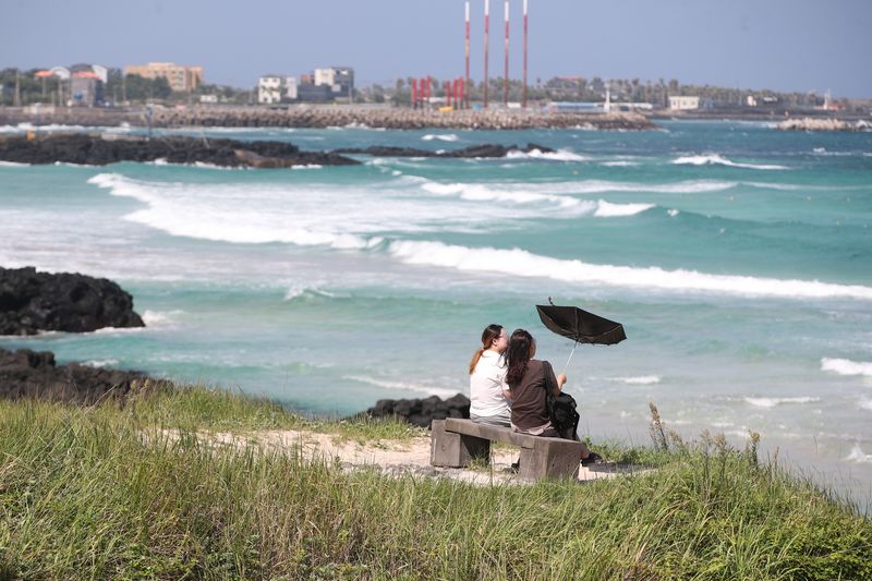
On the 17th, the temperature difference between day and night will widen to 10–15°C across most parts of the country. Strong winds with gusts exceeding 70 km/h are expected along the South Coast and on Jeju Island, raising the possibility that a strong wind advisory will be issued.
According to the Korean Meteorological Administration, most of the country will be cloudy, while Jeju Island will be mostly overcast. Morning lows are forecast at 11–21°C, with afternoon highs of 24–30°C. Temperatures will remain around seasonal averages for the time being, but most areas except the east coast will see a wide diurnal temperature range of 10–15°C.
Rain will begin on Jeju Island in the morning and continue in some areas through the night of the 18th. Expected precipitation from the 17th to the 18th is 5–60 mm. On the morning of the 17th, some parts of Jeju Island may also see less than 0.1 mm of raindrops.
On the 18th, rain will spread to more areas. Rain will begin in the southern coastal areas of North Gyeongsang Province and along the coasts of Busan, Ulsan, and South Gyeongsang Province from the morning, followed by rain along the Gangwon State east coast and in mountainous areas from the afternoon. Expected rainfall is 5–10 mm in Busan, Ulsan, and the South Gyeongsang Province coast, and around 5 mm along the Gangwon State east coast, in mountainous areas, and along the southern coast of North Gyeongsang Province.
Winds will also strengthen. From the morning of the 17th, very strong winds with gusts of at least 70 km/h are expected mainly along the South Coast and on Jeju Island, while mountainous areas of Jeju Island could see gusts exceeding 90 km/h. The Korean Meteorological Administration said a strong wind advisory could be issued. Some inland areas may also experience strong winds through the 18th, with gusts of around 55 km/h and around 70 km/h in mountainous areas.
Strong winds could damage facilities such as signs and plastic greenhouses, and may also disrupt aircraft operations.
High waves are also expected at sea. Beginning with the southern seas and waters around Jeju Island on the night of the 16th, strong winds and high waves will spread on the 17th to areas including the far southern open waters of the southern East Sea and the far southern open waters of the southern West Sea. Winds will be very strong at 30–55 km/h, while waves will reach 1.5–3.5 meters, raising the possibility that a high wave advisory will be issued.
From the night of the 17th, strong swell will also move into the east coast, the South Gyeongsang Province coast, and the coast of Jeju Island. High waves may surge forcefully onto beaches or overtake coastal rocks and breakwaters, so people should avoid approaching the shoreline.
Fog will form mainly inland in the morning. From dawn until 9 a.m., visibility of less than 1 km is expected mainly in eastern Gyeonggi, inland and mountainous areas of Gangwon State, Chungcheongbuk-do, Jeonnam, and inland areas of North Gyeongsang Province. Fog may become denser on roads near rivers, lakes, and valleys.
From the afternoon, some mountainous areas of Gangwon State may experience dense fog with visibility below 200 meters due to low clouds brought by easterly winds.
[email protected] Bomi Lee Reporter