Five-Year Tracking of About 360 Oreums and 110 Square Kilometers of Gotjawal in Jeju to End 'One-Off Surveys'
- Input
- 2026-09-03 16:02:36
- Updated
- 2026-09-03 16:02:36
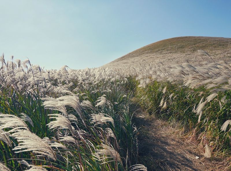
【Financial News Jeju = Jung Yong-bok】 Jeju will repeatedly survey about 360 oreums and approximately 110 square kilometers of Gotjawal across the province using consistent standards over five years to track changes in the natural environment over the long term. The key objective is to replace survey methods scattered across individual projects and commissioned studies with a continuous monitoring system in which Jeju’s own specialist research organization continuously accumulates data.
According to the Jeju World Natural Heritage Headquarters of Jeju Special Self-Governing Province on the 3rd, the Hallasan Research Division will work with the Environmental and Forest Resources Bureau to conduct basic surveys of the natural environment, including terrain and geology, vegetation, and soil, across oreums and Gotjawal throughout Jeju in stages from 2027 to 2031.
The survey will cover about 360 oreums and approximately 110 square kilometers of Gotjawal. About 70 oreums will be surveyed each year, while Gotjawal will be approached by dividing it into major zones.
The biggest change under the project concerns the survey method. In the past, specific areas were often surveyed for a set period whenever a particular project or commissioned study was launched, making it difficult to compare how the same locations had changed over time.
Going forward, the Hallasan Research Division will continuously apply the same standards and survey techniques while accumulating data. Rather than simply recording the natural environment at a single point in time, the approach will establish a basis for comparing how vegetation, terrain, and soil conditions change over several years.
The survey results will be compiled into a Geographic Information System (GIS) database. The plan is to link the terrain and slopes, vegetation conditions, and soil characteristics of each oreum with spatial information for long-term change analysis and conservation and management policies.
Drones and Light Detection and Ranging (LiDAR) will also be deployed in earnest. LiDAR is equipment that measures the time taken for emitted laser pulses to return, allowing the height and shape of the ground surface and forest to be captured three-dimensionally. It can record as numerical data the slopes and terrain of oreums, vegetation cover, and forest canopy structure, which are difficult to measure individually in the field.
The Jeju World Natural Heritage Headquarters will combine existing spatial data with LiDAR data covering all of Jeju, while conducting detailed field surveys and repeated imaging in key areas. The assessment is that repeatedly photographing and measuring the same locations over a long period will make it possible to compare objectively, in numerical terms, changes in the natural environment caused by visitor pressure, climate change, and shifts in vegetation.
The Hallasan Research Division has already been building a foundation for long-term surveys. Geological surveys conducted around Hallasan from 2020 to 2024 examined the distribution and formation processes of about 60 oreums. From 2020 to 2025, 40 detailed tree survey plots were established at different elevations and aspects in the highlands of Hallasan to monitor vegetation changes over the long term.
Since last year, the survey area has been expanded to cover all of Jeju. Geological surveys across the province are being conducted from 2025 to 2028, expanding the scope from research centered on Hallasan to research on volcanic landforms throughout Jeju.
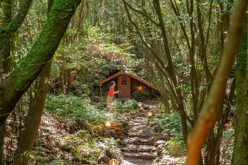
A foundation for long-term monitoring is also being established in Gotjawal. Eleven detailed survey plots, each measuring 40 meters by 40 meters, have been created in Seonheul Gotjawal and Gyorae Gotjawal. For each individual tree within the plots, researchers record the species, diameter at breast height, number of stems, and growth form. Repeatedly surveying the same trees over a long period can show how much they have grown or declined and how the species composition and density of the forest have changed.
Spatial technology is also being used to survey Mankyua, a rare plant found only in Jeju. The distribution of Mankyua is recorded using drone orthomosaic imagery, while light levels, temperature and humidity, and drainage conditions are monitored together to analyze how the plant’s distribution relates to the surrounding forest and terrain and moisture conditions.
Another difference is that the collected data will not remain solely within the research organization. The Jeju World Natural Heritage Headquarters plans to manage the survey results as public basic data that will be continuously updated and to disclose them in stages. It will also expand access to existing Gotjawal survey data so that researchers and administrative agencies can use it jointly.
The roles of administration and research will also be separated. Environmental policy departments will identify the data needed for conservation and management, while the Hallasan Research Division will handle field surveys, analysis, and data construction. Rather than commissioning a new study whenever a policy is developed, the plan is to continuously build up research materials, survey techniques, and specialized personnel within Jeju.
The project’s connection to oreum management policies is also drawing attention. Jeju is separately preparing a basic plan for oreum conservation and management to be applied from 2027 to 2031. One option under consideration is to adopt different conservation and restoration methods based on the extent of damage and usage conditions of each oreum.
As terrain, vegetation, and soil data accumulated through long-term surveys build up, the basis for determining which oreums are deteriorating more rapidly and which areas should receive higher conservation priority could also become more precise.
In Gotjawal as well, the importance of objective natural-environment data is growing amid debates over development and conservation and the management of habitats for rare organisms. Data accumulated over a long period using consistent standards can address the limitations of existing policies that relied on survey results from specific points in time.
Kim Hyeong-eun, head of the Jeju World Natural Heritage Headquarters, said, "The value of oreums and Gotjawal cannot be fully understood through a single survey." Kim added, "We will expand the research experience accumulated at Hallasan across Jeju and continuously document changes in the natural environment." He emphasized, "By connecting the accumulated data to conservation and management and the discovery of new values, we will strengthen the role of a specialist research institution rooted in the local community."
[email protected] Jung Yong-bok Reporter