International Symposium to Mark Completion of National Basic Geological Map Series to Be Held on the 9th
- Input
- 2026-09-02 14:16:45
- Updated
- 2026-09-02 14:16:45
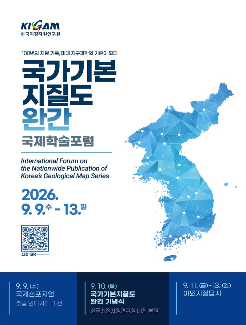
[Financial News] The Korea Institute of Geoscience and Mineral Resources (KIGAM) announced on the 2nd that it will hold an international symposium marking the completion of the 1:50,000-scale National Basic Geological Map series at Hotel Interciti in Daejeon on the 9th of this month. The event will discuss the future role and development of national geological surveys.
The National Basic Geological Map is national-standard scientific information documenting the formation and evolution of the Korean Peninsula. It is a key national infrastructure used for land management and conservation, resource development, and geological disaster prevention. About 100 participants from geological survey organizations around the world—including the British Geological Survey (BGS), Geological Survey of Japan (GSJ), China Geological Survey (CGS), National Geological Survey of Mongolia (NGS), and the Committee for Geoscience Programmes in East and Southeast Asia (CCOP)—as well as industry, academia, and research institutions in Korea and abroad, will attend the symposium.
During the morning plenary session, Lee Seung-ryeol, head of KIGAM’s Geological Survey Research Division, will present the future direction of geological surveys in Korea under the title “Completion of Korea’s National Basic Geological Map: A Century of Achievement and the Road Ahead.” Karen Hanghøj, director of the British Geological Survey, will then outline the future role of national geological survey organizations in a presentation titled “From Geological Mapping to Geointelligence: The Changing Role of National Geological Survey Organizations.”
At the international panel discussion, KIGAM Deputy Director Lee Myeong-jong and representatives from geological survey organizations in the United Kingdom, Japan, China, and Mongolia, along with CCOP, will discuss key challenges facing future geological surveys. Topics will include geological disaster response, critical minerals and resource development, the use of AI-based geological data, the energy transition, and international cooperation.
The afternoon technical sessions will share the latest research findings on natural hydrogen, groundwater and soil environments, geointelligence, Korea’s geology, geological storage of CO2, the use of underground space, and paleoclimate and coastal environments. The sessions will also focus on next-generation geological survey methods using AI and digital technologies, including the development of three-dimensional geological information.
KIGAM plans to use the international symposium as an opportunity to strengthen cooperation with major geological survey organizations worldwide. Based on its accumulated geological information and research experience, it will expand joint research and data collaboration to help address global challenges involving resources, the environment, and disasters.
Kwon Yi-gyun, president of the Korea Institute of Geoscience and Mineral Resources, said, “The completion of the National Basic Geological Map series marks both an opportunity to look back on the achievements of past geological surveys and a starting point for rethinking the role of future national geological surveys. Together with major geological survey organizations around the world, we will discuss the future direction of geoscience and combine our accumulated geological information with AI and digital technologies to create new value needed by the nation and its people.”
[email protected] Yeon Ji-an Reporter