China Says Glacier Lake Near Nepal Border Has Fully Drained, Easing Fears of Sudden Downstream Flooding
- Input
- 2026-08-31 09:28:56
- Updated
- 2026-08-31 09:28:56
According to the Kathmandu Post on the 30th, an emergency hydrological monitoring team under China's Ministry of Water Resources said, "Water is now flowing normally through the natural channel, and nearly all of the stored water has been released."
The lake formed near the confluence of Nepal's Chochhen Kola River and China's Purepu Changpo River after a glacier collapse on the 26th. About 2 million cubic meters of water had accumulated there, prompting Chinese authorities to warn earlier that "the lake faces a high risk of collapse" and that "more water could build up if the rain continues."
Satellite monitoring later showed that the lake's water had begun to recede gradually, reducing the immediate risk.
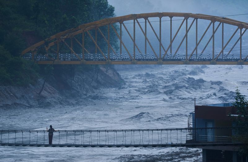
Floodwaters on the day also swept away a suspension bridge over the Trishuli River that connects Ghyachok in Gorkha Province and Charaudi in Dhading Province.
[email protected] Hong Chaewan Reporter