Rain Expected Across Most of the Country Through the 31st ... Heavy Downpours of More Than 200 mm Forecast for South Chungcheong [FN Weather]
- Input
- 2026-08-29 12:33:48
- Updated
- 2026-08-29 12:33:48
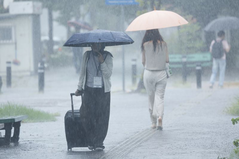
[Financial News] A stationary front is expected to form over the Korean Peninsula over the weekend, bringing heavy rain to most parts of the country. From the 30th to the 31st, South Chungcheong could receive more than 200 mm of rain, while North Jeolla and North Chungcheong may see more than 150 mm in some areas. In particular, very intense rain of over 50 mm per hour is forecast in some places from night through early morning.
The Korean Meteorological Administration held a regular forecast briefing on the 29th and released its precipitation outlook through the 31st.
Forecast analyst Lee Gwang-yeon said, "At present, tropical disturbances including Typhoon No. 18 Saudel are located to the southwest of the Korean Peninsula, while a high-pressure system is positioned to the southeast. As a result, warm and humid air is flowing into the country. Meanwhile, an upper-level jet is passing to the north, and a trough is moving southeast, sending cold and dry air toward the Korean Peninsula." He added that on the 29th, rain would continue mainly south of the central Chungcheong region under the influence of warm, humid air moving up from the south. In northern Gyeonggi and central to northern Gangwon, showers may develop under the influence of the northern trough.
The rainfall pattern will change from the 30th. Warm, humid air moving north from the south and cold, dry air descending from the north are expected to clash near the Korean Peninsula, forming a stationary front. As a result, rain is forecast across most of the country on the 30th and 31st.
Rainfall totals are also expected to be high. Over the two days of the 30th and 31st, the Korean Meteorological Administration expects some areas in South Chungcheong to receive more than 200 mm, while North Jeolla and North Chungcheong could see more than 150 mm.
The heaviest rain is likely during the vulnerable overnight and early morning hours. Between the night of the 29th and the early morning of the 30th, and again between the night of the 30th and the early morning of the 31st, some areas could see extremely heavy rain of more than 50 mm per hour.
Because recent rainfall has already weakened the ground in some areas, additional heavy rain could increase the risk of landslides, mudflows and ground collapse. Extra caution is needed near rivers, underpasses and low-lying areas.
Temperatures on the 30th are expected to range from 20 to 26 degrees Celsius in the morning and 26 to 32 degrees in the afternoon. Along the South Coast and on Jeju Island, nighttime lows may stay above 25 degrees, bringing tropical nights in some places. On the 31st, morning lows are forecast at 20 to 25 degrees, with daytime highs of 25 to 32 degrees.
On September 1, the country will gradually move out of the influence of the stationary front and come under the edge of the North Pacific High. Skies are expected to be generally cloudy nationwide, with morning lows of 19 to 25 degrees and afternoon highs of 25 to 31 degrees.
On the 2nd and 3rd of next week, rain may fall in Gangwon's east coast region and on Jeju Island due to easterly winds. The Korean Meteorological Administration urged the public to keep checking the latest forecasts, as the position of the stationary front remains highly variable.
[email protected] Reporter Lee Bo-mi Reporter