KIOST Research Vessel R/V ISABU Begins Typhoon Saudel Observations in the Philippine EEZ
- Input
- 2026-08-25 09:43:28
- Updated
- 2026-08-25 09:43:28
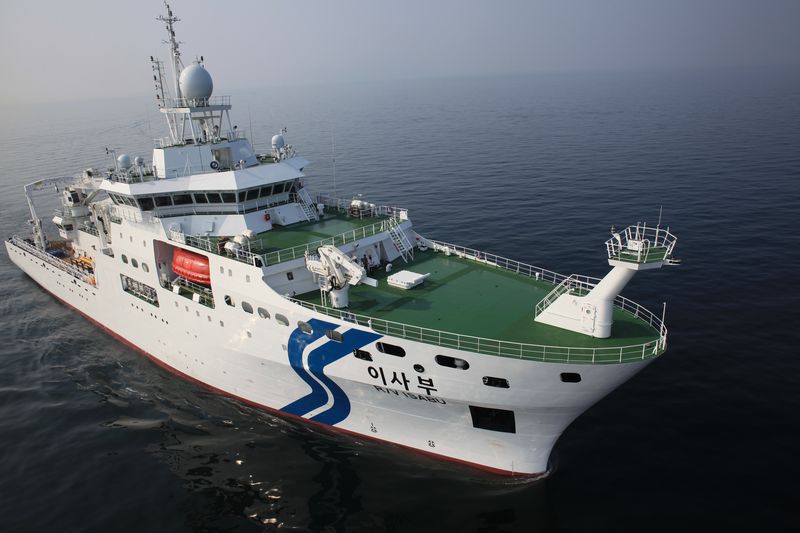
The field survey was launched to examine changes in the ocean and atmosphere before and after the typhoon passed. While sailing for research, the R/V ISABU team confirmed the formation of Saudel and adjusted its route and observation plan to match the typhoon's projected path.
Typhoon Saudel formed near Guam on the 19th and intensified into a very strong storm as it moved over warm waters. It is now passing near the Okinawa Islands in Japan and is expected to move toward southeastern China.
Before Saudel approaches, R/V ISABU will measure the distribution of heat content in the upper ocean and study how the ocean affects the typhoon's formation and development. Heat content refers to the amount of thermal energy stored in seawater and is one of the factors that determine a typhoon's strength.
Kim Seong-hoon, head of the Marine Climate Prediction Center, said, "To accurately predict a typhoon's intensity, we must observe not only the typhoon itself but also the state of the ocean, which supplies it with energy and moisture." He added, "This survey is highly meaningful because it allows us to capture three-dimensional changes in the atmosphere and ocean from before the typhoon passes through until after it moves on."
Because direct ship-based observations are difficult in areas affected by typhoons due to high waves and strong winds, observation data remain limited. To address this, KIOST's R/V ISABU uses unmanned equipment to minimize researchers' exposure to high-risk waters and continuously observes the typhoon from its formation until after it dissipates.
The unmanned observation devices deployed in the typhoon's path will study the ocean in a three-dimensional way, each covering different depths and roles. The drifting automatic observation buoy will float on the sea surface and measure surface conditions and changes in water temperature, while the Argo float will repeatedly rise and descend to depths of about 2,000 meters to observe the vertical distribution of water temperature and salinity.
A KIOST official explained, "These data, collected when the typhoon reaches its peak, will be used to understand how the upper ocean changes under strong winds and to identify the ocean's response to the typhoon." The official added, "With unmanned observation equipment deployed alongside the survey, we are now able to monitor even waters that are difficult for people to access without missing anything."
[email protected] Byun Ok-hwan Reporter