When Will the Sweltering Heat End? Experts Say This Year Could Be the Least Hot Summer
- Input
- 2026-08-07 04:40:00
- Updated
- 2026-08-07 04:40:00
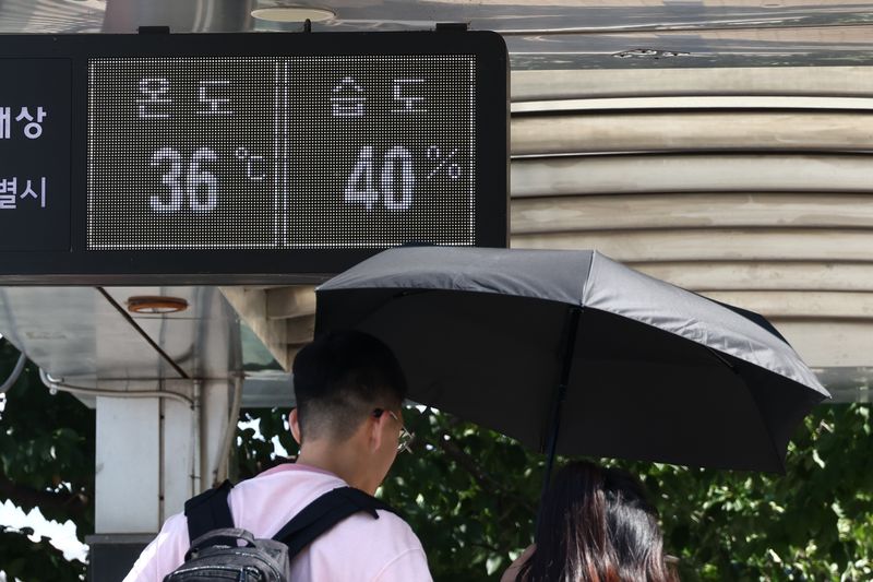
[Financial News] There is a possibility that the heat wave will temporarily ease under the influence of Typhoon No. 13, Dolphin. However, experts predict that the extreme sweltering heat could continue until mid-August.
Min Ki-hong, a professor in the Department of Atmospheric Sciences at Kyungpook National University who studies abnormal heat-wave weather, appeared on JTBC News on the 5th and explained that whether rainfall follows the approach of Typhoon Dolphin could affect any easing of the heat wave. He said, "Typhoon Dolphin is approaching from the sea south of Japan, so depending on whether there is rainfall, the heat wave may ease somewhat in the latter half of next week or early next week. Still, the extreme sweltering heat at its peak is likely to continue until mid-August."
Looking beyond mid-August, he said that while the daily high temperature may fall somewhat, the oppressive heat driven by humidity is likely to continue. He added, "Even after mid-August, the high-pressure pattern in the upper atmosphere and the inflow of easterly winds may cause the peak temperature to ease somewhat, but the perceived temperature caused by high humidity is expected to keep the heat at around 33 to 35 degrees Celsius through late August."
According to an announcement by the Korea Meteorological Administration at 4 a.m. on the 6th, Typhoon Dolphin was moving northwestward over the sea south of Japan. It was expected to make landfall in southern China early next week while maintaining strong intensity.
Min said the typhoon could still affect weather on the Korean Peninsula even after heading toward China. He explained, "Until landfall, the easterly winds are likely to keep bringing heat waves to the Yeongseo region of the Korean Peninsula. Even if it moves into China, it is likely to transform into an extratropical cyclone and re-enter the Korean Peninsula. If that happens, rainfall will be triggered, and the heat wave may briefly subside."
Min also raised the possibility that, compared with summers ahead, this year could be remembered as a relatively less hot summer.
He cited the upward trend in temperatures, changes in sea surface temperatures, and related climate reports as evidence. He said, "Extreme heat waves are increasingly likely to become a normal, new-normal condition that occurs every year," adding, "Looking at scientific data, temperatures have risen much more sharply since the 2000s. Sea surface temperatures around us are also continuing to rise, and even if you look at the IPCC climate reports or the Korea Meteorological Administration's climate change analysis reports, the heat-wave cycle is expected to become shorter and more severe."
Meanwhile, the Korea Meteorological Administration forecast that, as extreme heat continues mainly in western areas, daytime highs could reach 39 degrees Celsius through the 7th.
A severe heat warning remains in effect for most of the Capital Region, including Seoul, where the perceived temperature is expected to exceed 38 degrees Celsius. Most other regions are also under heat wave warnings, with perceived temperatures likely to rise to around 35 degrees Celsius.
A storm warning was issued for the sea around Jeju and the southern sea, which are under the indirect influence of Typhoon Dolphin. Waves rose as high as more than 4 meters.
As warm air from the south flows in during the typhoon's northward movement, the heat wave on the Korean Peninsula is expected to continue for the time being. With oppressive heat and tropical nights recurring, rain is forecast for the East Coast of Korea and Jeju over the weekend.
[email protected] Han Seung-gon Reporter