"Record-Breaking Heatwave Is Coming" ... Expert Warns This Summer's Tropical Nights Will Be Worse Than Last Year
- Input
- 2026-05-27 15:38:16
- Updated
- 2026-05-27 15:38:16
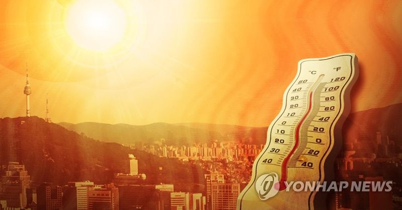
[Financial News] A forecast has suggested that this summer could be extremely hot, with the likelihood of heatwaves and tropical nights higher than usual.
On the 27th, Lee Myung-in, a professor at Ulsan National Institute of Science and Technology (UNIST) and head of the Heatwave Special Weather Research Center at the Korea Meteorological Administration (KMA), said this during a KMA weather lecture and explained the signs of a "record-breaking heatwave."
Lee said that he had held close consultations with companies and discussed the difficulties facing the petrochemical industry as well as possible government support measures.
He added, "Over the past three years, Arctic sea ice has melted to record lows, and high sea surface temperatures in the North Pacific have continued since the 2020s. If these conditions persist this year, they are making the chances of heatwaves and tropical nights in Korea much higher than average."
He also noted, "There is uncertainty in the outlook depending on an early shift to El Niño and fluctuations in North Atlantic sea surface temperatures."
As for Arctic sea ice, the National Snow and Ice Data Center (NSIDC) and the National Aeronautics and Space Administration (NASA) said its area stood at just 14.29 million square kilometers as of March 15. That was the lowest level in the 48 years of satellite observations.
Lee explained, "The melting of Arctic sea ice centered on the Barents-Kara Sea is linked to a positive Arctic Oscillation. When a positive Arctic Oscillation occurs, high-pressure systems become stagnant in the mid-latitudes, and this pattern has triggered severe heatwaves before, including in 1994 and 2018."
The Arctic Oscillation refers to the periodic strengthening and weakening of the vortex that circles the Arctic. A positive Arctic Oscillation means the vortex is stronger. In that case, the east-west flow of the upper-level jet stream becomes smoother, preventing cold Arctic air from moving into the mid-latitudes and pushing temperatures higher there.
Persistently high North Pacific sea surface temperatures since 2020 were also cited as evidence of a heatwave risk. Lee said, "Sea surface temperatures can affect global temperatures," adding, "They are now rising to a level that could challenge the all-time record, along with the development of El Niño."
Lee explained, "As sea surface temperatures rise, the likelihood of milder conditions across the Northern Hemisphere, not just the Korean Peninsula, increases, and so does the chance of heatwaves due to the accumulation of thermal energy in the ocean." He also said that El Niño, which is expected to develop very strongly starting this summer, would be a key variable.
According to Lee, previous studies show that El Niño has little effect on the Korean Peninsula except for increasing rainfall in Busan and parts of the South Coast. However, he pointed out that 2018 and 2023, both El Niño years, were hotter than usual. Since El Niño occurs only once or twice a decade, the sample size is too small, but it could still be a factor affecting summer heatwaves. Earlier, the KMA said in its June-August outlook that for June and July, the probability of temperatures being above normal is 60%, near normal 30%, and below normal 10%. For August, the corresponding figures are 50%, 40%, and 10%.
[email protected] Kim Hee-sun Reporter