Government to Use Satellites for Comprehensive Farmland Survey to Monitor Actual Cultivation
- Input
- 2026-03-08 18:26:51
- Updated
- 2026-03-08 18:26:51
Farmland management policy is also expected to shift toward verifying actual cultivation by comparing data from the Agricultural and Forest Satellite with the Farmland Database.
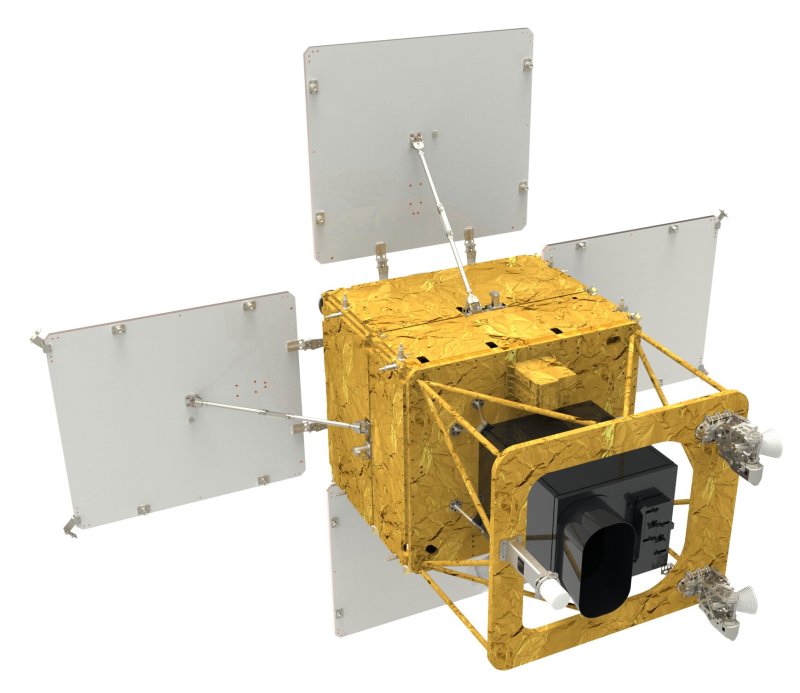
According to relevant ministries on the 8th, the Ministry of Agriculture, Food and Rural Affairs and the Presidential Committee on Agriculture, Fisheries and Rural Policy discussed using the Agricultural and Forest Satellite for a full-scale survey of farmland at a meeting of the jointly operated "Task Force on Farmland System Reform" held on the 4th. The plan is to use Next-Generation Medium-Sized Satellite-4 (the Agricultural and Forest Satellite), which is scheduled to be launched between June and August, for medium- to long-term monitoring and management.
Conventional aerial photographs involve a time lag between when images are taken and the actual on-the-ground situation, but data from the Agricultural and Forest Satellite will be updated every three days. This means satellite technology can be used to determine the "actual use of farmland," which is the core of any full-scale survey.
An official at MAFRA said, "We are reviewing a full-scale survey of farmland," adding, "We are also examining ways to use the Agricultural and Forest Satellite in the survey process." The official went on, "Currently, farmland surveys are conducted by extracting 10% of all agricultural land and carrying out an annual sample survey," and explained, "Basic information has already been compiled through the Farmland Ledger, and this survey is intended to check how closely the ledger information matches actual use." Another official noted, "Separately from this survey, the idea of using satellites in the farmland management process has been under discussion for some time."
Since 2022, following the Korea Land and Housing Corporation real estate scandal (LH scandal), MAFRA has converted the existing farmland ledger into the Farmland Ledger and built a Farmland Database. The previous farmland ledger only covered plots of 1,000 square meters or more on a household basis, but the new Farmland Ledger records, for all agricultural land, the crops grown on each parcel and related administrative information.
However, because the Farmland Ledger has been compiled based on mandatory self-reporting by landowners, the government has had no direct way to verify what crops are actually being grown and how. Going forward, the Agricultural and Forest Satellite is expected to serve as the missing piece that links the Farmland Database with real-world cultivation data.
junjun@fnnews.com Choi Yong-jun and Kim Chan-mi Reporter