Pouring, Hot, Shaking... Tomorrow's National Weather 'Turbulence'
- Input
- 2025-08-31 18:44:14
- Updated
- 2025-08-31 18:44:14
Possibility of heavy rain with thunder and lightning, heatwave with a perceived temperature of 33 degrees, and marine storm warnings
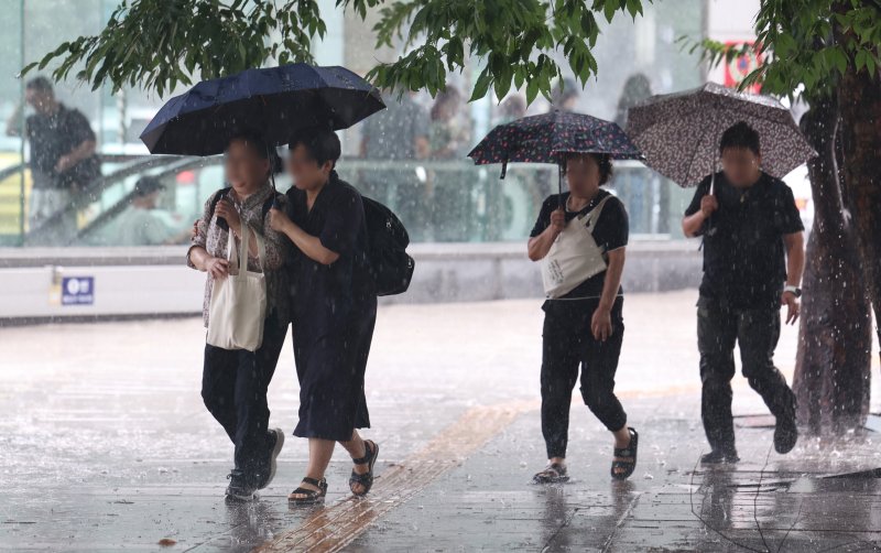
[Financial News] On Monday the 1st, strong rain or showers accompanied by thunder and lightning will fall in most areas nationwide.
The heatwave with a maximum perceived temperature of 33 degrees will continue.
According to the Korea Meteorological Administration on the 31st, rain will generally fall nationwide from the night of the 31st until September 1st.
In the central region, the rain will stop on the night of the 1st, but in some areas, it will continue into the next day, with occasional rain in southern Gyeonggi and Gangwon-do until dawn on the 2nd, in the Chungcheong region until the morning, and in the southern regions and Jeju Island until the afternoon.
The expected precipitation from the 31st to September 2nd is 30-80mm in the metropolitan area, Chungcheong, Gyeongsang, and inland mountainous areas of Gangwon (over 100mm in Busan and the southern coast of Gyeongnam), and 10-60mm in Jeolla and Jeju Island (over 80mm in some areas). In areas where showers fall, there may be places with a lull, and there will be a significant difference in precipitation even within the same city or county.
In areas where rain or showers fall, there will be places with gusts and thunder and lightning, and especially between the 31st and the 1st, there will be places with strong rain of around 20mm per hour (over 30mm in some areas), so special attention should be paid to flooding and rapid currents in valleys or rivers.
However, in the east coast, including Gangneung City in Gangwon, which is suffering from drought, only a small amount of rain of around 5mm is expected.
For the time being, temperatures will be higher than normal. Due to the humid weather, the maximum perceived temperature is expected to soar to around 33 degrees, mainly in the southern regions. The tropical night phenomenon, where the temperature remains above 25 degrees overnight, will also continue, mainly in urban and coastal areas.
The nationwide expected minimum temperature in the morning is 23-27 degrees, and the maximum temperature during the day is 27-34 degrees. On the 2nd, the minimum will be 20-26 degrees, and the maximum will be 27-33 degrees.
From the morning of the 1st, very strong winds of 30-50 km/h (9-14 m/s) and very high waves of 1.5-3.5 meters are expected in the outer seas of the central and southern parts of the East Sea, with the possibility of a storm warning being issued, so maritime safety accidents should be noted.
jjw@fnnews.com Jeong Ji-woo Reporter